

Report from Hopewell
Document 1796Hawkins reports on his plans for surveys to establish boundary lines between the Creeks, the Cherokees, and the United States. Reports on his plans for a tour through the towns of the upper Cherokee and the Creeks.



No human transcription currently available for this document.
This transcription was generated by machine using Anthropic's Claude Code (model sonnet 4.6). It may contain errors or inaccuracies. Please verify against the document image. Learn more about our generative AI methodology.
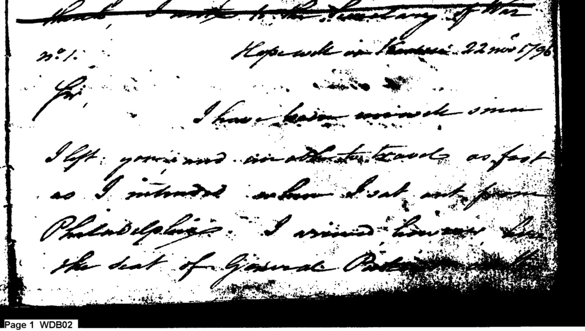
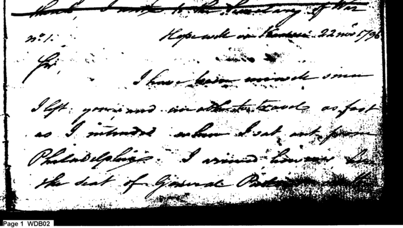
[...to the Secretary of War]
N° 1. Hopewell in Tennessee. 22 Novr 1796
Sir,
I have been unavoidably [undecipherable] some [undecipherable]
I left [undecipherable] in all the travels as fast as I intended — [undecipherable] from Philadelphia. I missed him at the seat of General Pick[undecipherable]
[undecipherable] the 19 mo: in better health than I have experienced for several years.
I have explained to the Gov[undecipherable: probable reading: Governor] the benevolent views of the government in relation to the Indians, with which he is much pleased; and insists as he is on this frontier confided in and respected by the citizens and Indians he can and will do much in aid of our plan. — We have fixed a day of march to meet at the Cherokee Mountains to run the boundary lines between the Creeks and the United States agreeably to Treaty. The [undecipherable] must be [undecipherable] from Tugalo [undecipherable] over the Cherokee Mountains to the source of the [undecipherable] North branch of the [undecipherable]. The Governor supposes the distance to be from Tugalo to the Cherokee Mountains 15 miles, and from thence to the termination 35 miles. In the neighbourhood of this line there is plenty of grazing cane and provisions. It may be necessary to order a company of cavalry to attend the running of the line.
The Cherokee line may be commenced the 1st of April and not sooner as there is not any cane from the North Carolina line to Houston. There remains to be about 15 miles in this State to the North Carolina boundary. There is some ambiguity in the part of the line from that boundary as expressed in the Treaty 'thence north to a point.' How far North is this point?.
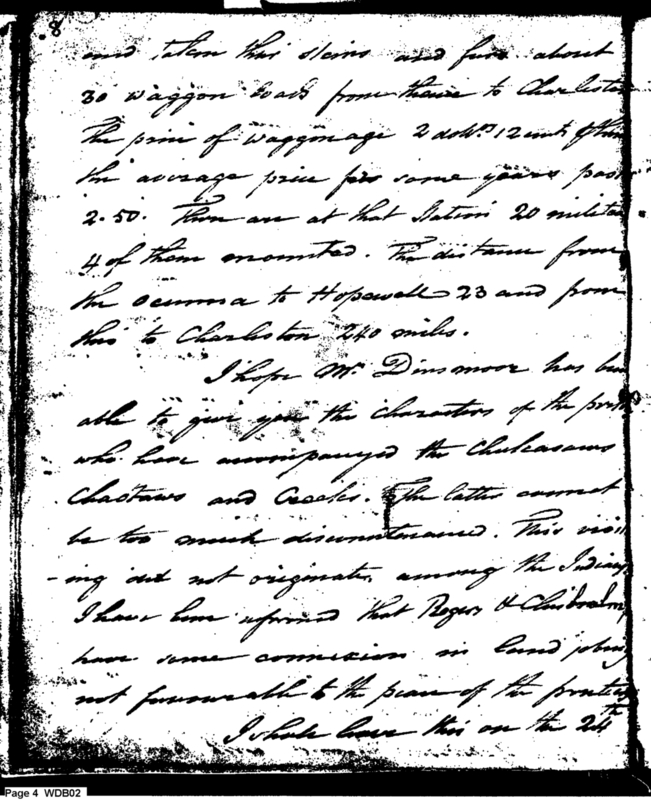
There are several traders down from the Cherokees who have come to the Ocmulga [undecipherable] with pack horses and taken their skins and furs about 30 waggon loads from thence to Charleston. The price of waggonage 2 dolls 12 [undecipherable] the average price for some years past 2.50. There are at that Station 20 militia 4 of them mounted. The distance from the ocmulga to Hopewell 23 and from thence to Charleston 240 miles.
I hope Mr. Dinsmore has been able to give you the characters of the persons who have accompanied the Chicasaws Chactaws and Creeks. The latter cannot be too much discountenanced. This visiting did not originate among the Indians. I have been informed that Roger & [undecipherable] have some connexion in Land jobbing not favorable to the peace of the frontier.
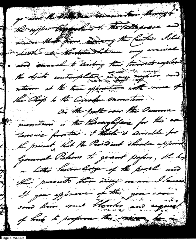
I shall leave this on the 24th go over the Oconee mountain, through the upper Coosahatchie to the Tallapoosa and down that river among the Creeks. I shall divide the interim between my arrival and march to visiting their towns to explain the objects contemplated in my mission and return at the time appointed with some of the Chiefs to the Cherokee Mountains.
As the path over the Oconee mountains is the thoroughfare for this extensive frontier, I think it advisable for the present, that the President should appoint General Pickens to grant passes. He has a better knowledge of the people and their pursuits than any man I know.
If you approve of this, you can send him some blanks, and request of him to perform this service, he is [undecipherable] of Pickens [undecipherable], as proof towards [undecipherable] which [undecipherable] mention the subject to him.
I have the Honour to be
with sincere regard and esteem
[undecipherable] [H]is your obedient Serv[undecipherable]
[undecipherable]
James McHenry
[undecipherable] of [undecipherable]
Type
Letter
Description
Hawkins reports on his plans for surveys to establish boundary lines between the Creeks, the Cherokees, and the United States. Reports on his plans for a tour through the towns of the upper Cherokee and the Creeks.
Date
11/22/1796
Author
Recipient
Sent from
Hopewell on Keowee
Repository
Collection
Document number
1796112240001
Page start
1
Note
Cited in Hawkins to McHenry, 01/06/1797.
Difficult to read.
Notable persons
James McHenry
Benjamin Hawkins
General Pickens
Indians
Creek
company of cavalry
traders
Cherokee
Dinsmore
Dinsmoor
Chickasaw
Choctaw
Rogers
Chisholm
Chiefs
President
Notable locations
Hopewell on Keowee
Philadelphia
frontier
South Carolina
Hopewell
Keowee River
Currahee Mountains
boundary line
Creek nation
Tugalo
Oconee River
Cherokee line
North Carolin
Holston
Charleston
upper Cherokee
Tallapossa
mountains
Notable items
travel
treaty
boundary line
cane
provisions
station
pack horses
stores
furs
wagon loads
average price
appoint
grant papers
blanks